


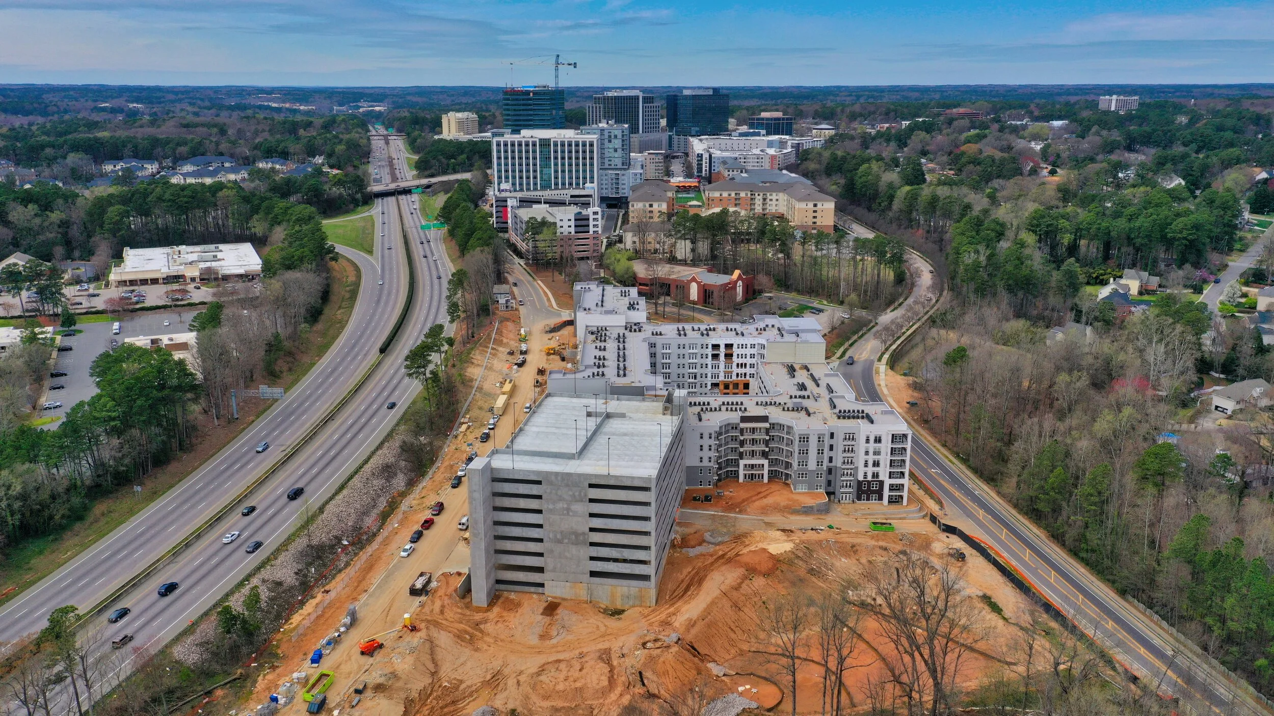
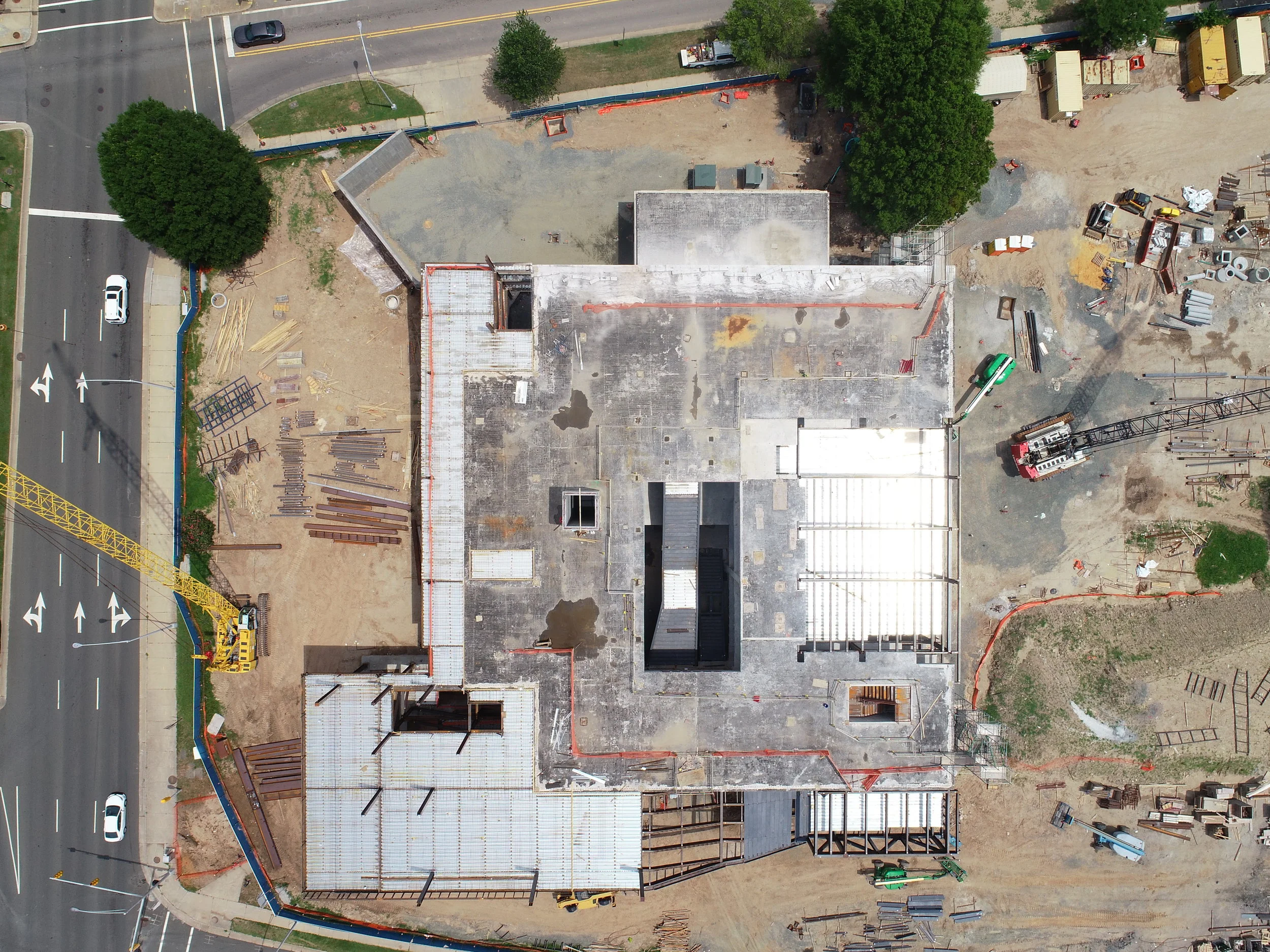
Construction Progress Photos and Mapping
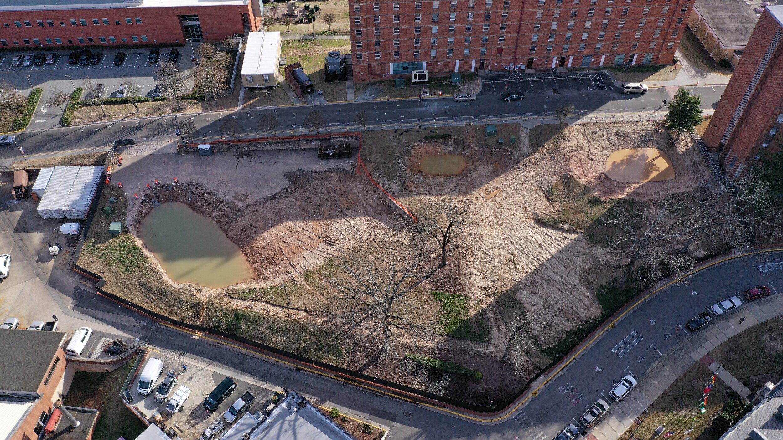
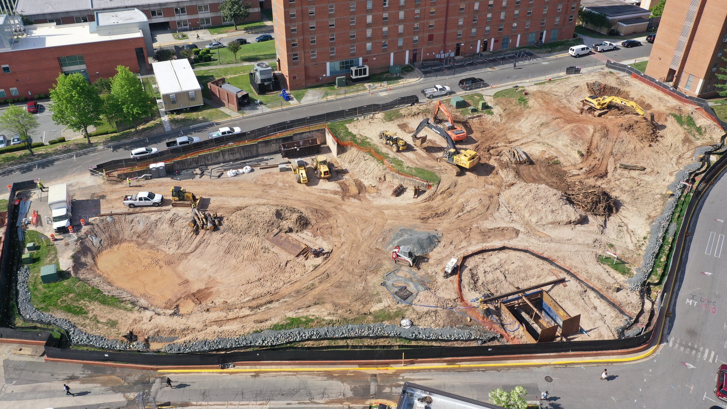
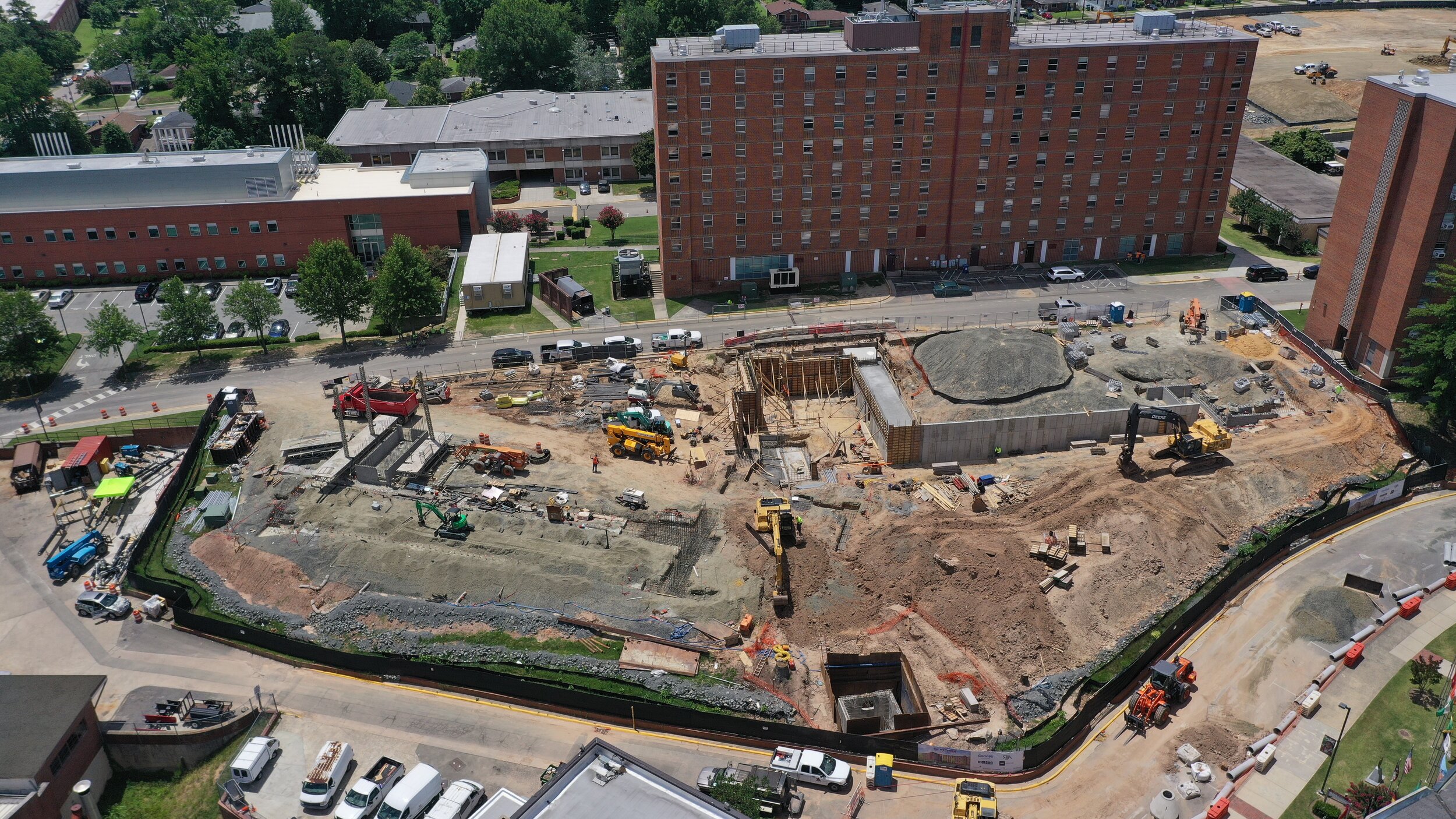
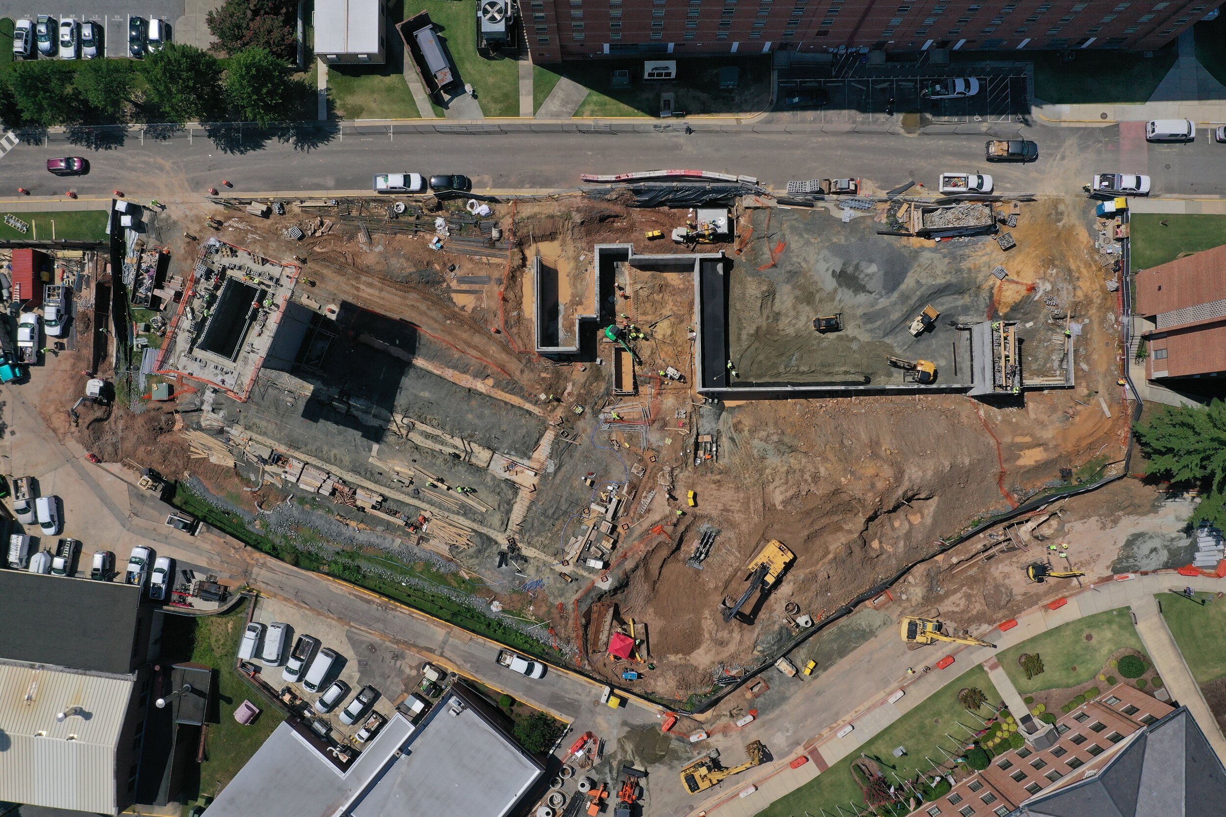
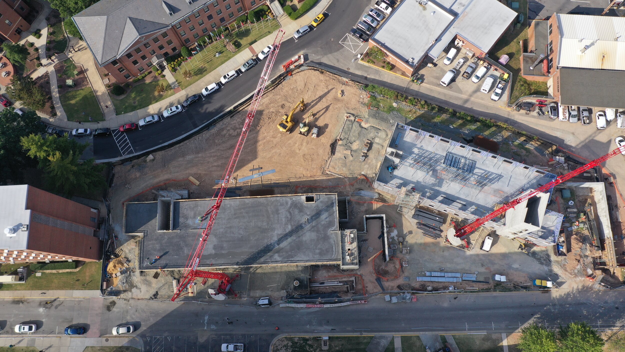
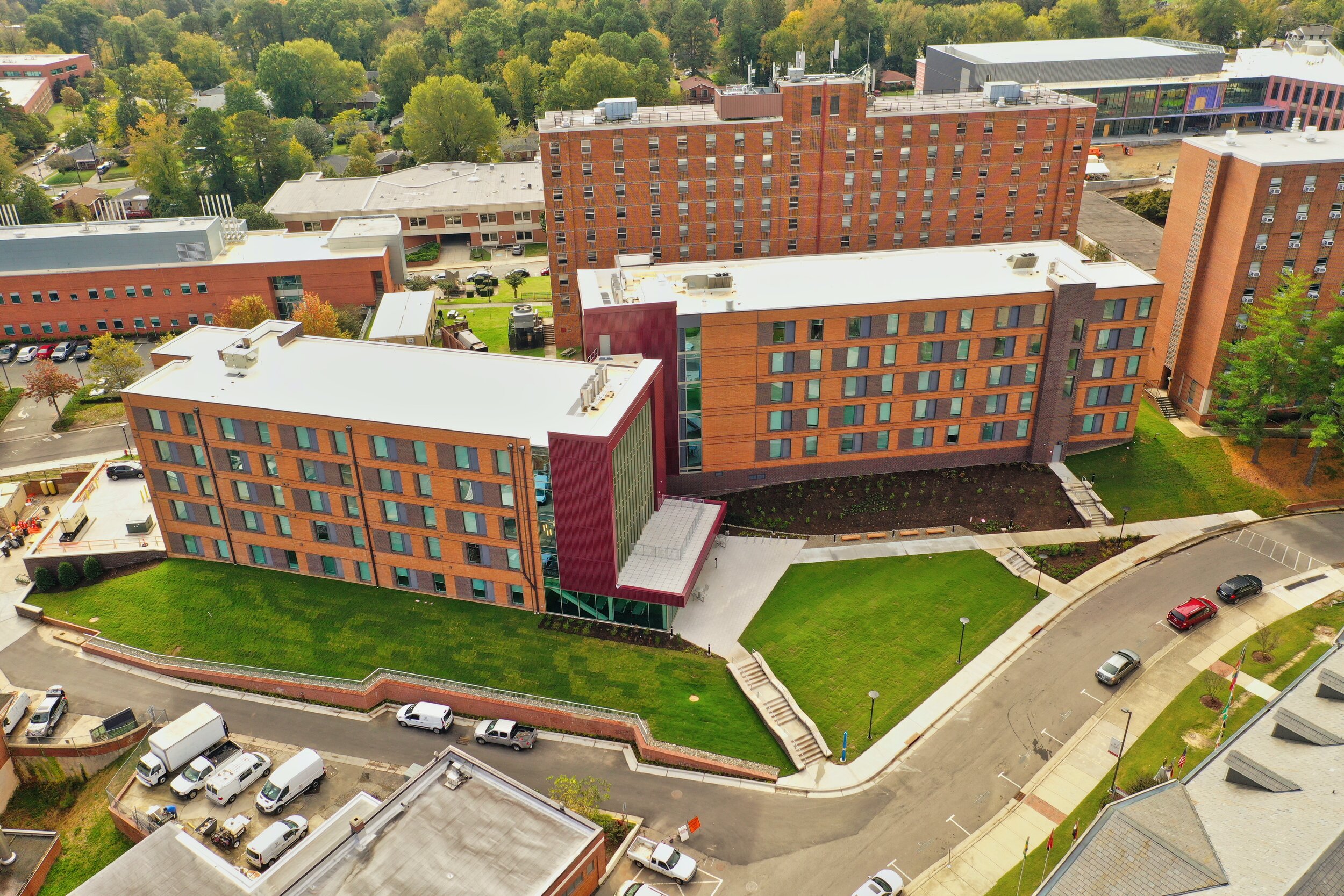
Many leaders in the construction industry are finding that drone and UAV services can play a vital role in their work. Used for surveying, monitoring job-sites to ensure safety and security, aerial overviews of completed projects for client presentation and approval, as well as the inspection of bridges and other difficult structures; drones and UAV's (Unmanned Aerial Vehicles) are quickly becoming an indispensable tool in the construction industry.
Mapping & Surveying: UAV construction pilots can provide access to aerial survey data at an unprecedented level. Site information can be collected faster and more safely than ever before. Engineers have accurate, real-time data when decisions or modifications need to be made. Aerial data can also be used in calculating extraction and fill in volumes. Think we can help you with your project, click here to contact us today.
Durham Library
Site surveillance: Monitoring large construction sites can be challenging. Safety issues, security, and progress can all be observed in real-time with drone services. Site progress photography from unique aerial angles provide a greater sense of scale than possible from ground based photography.
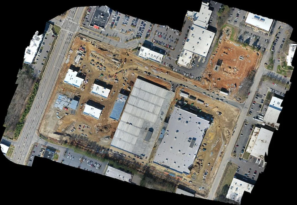
Mapping

On Site Progress